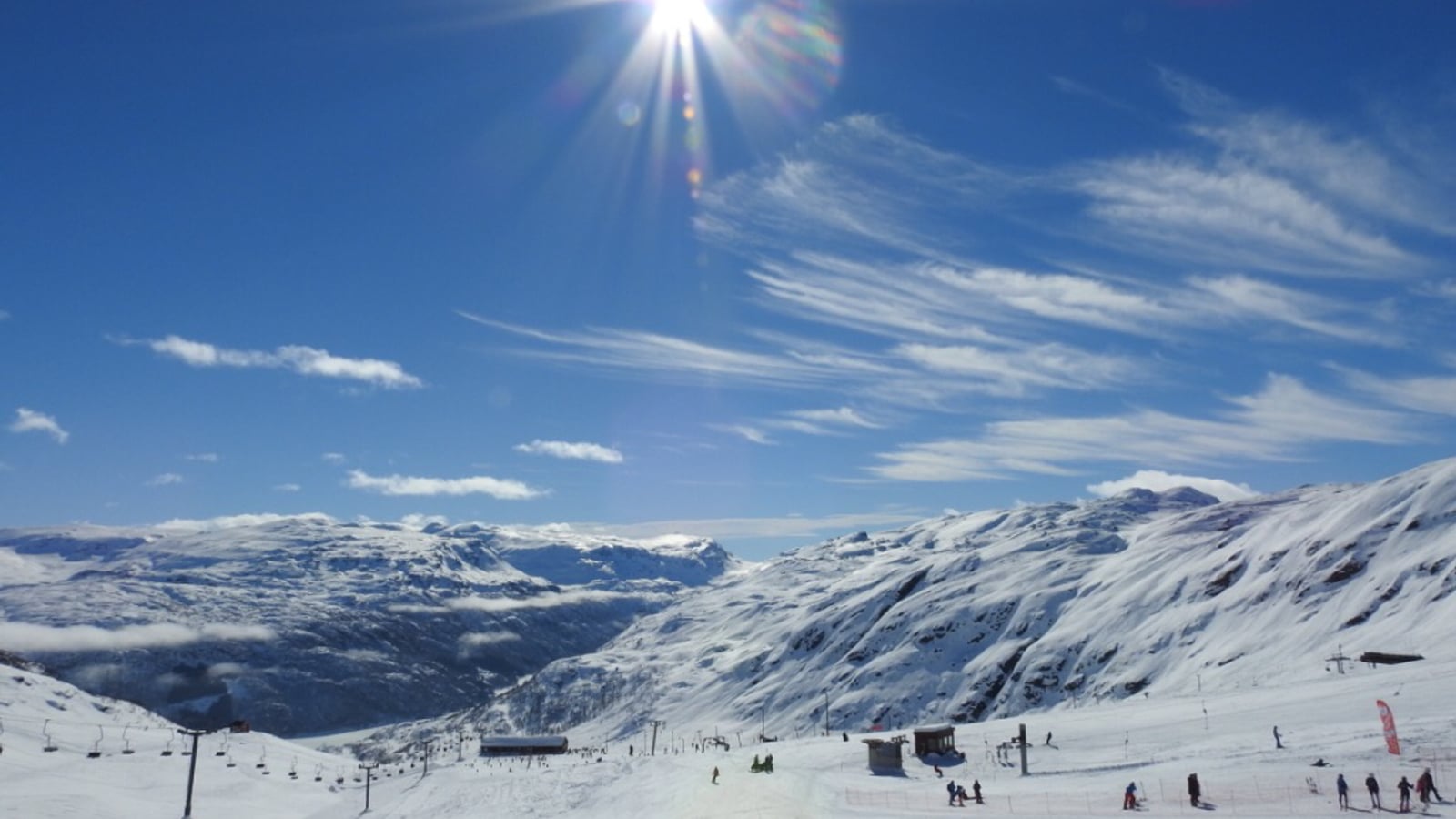
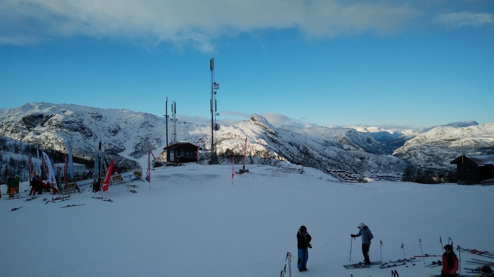
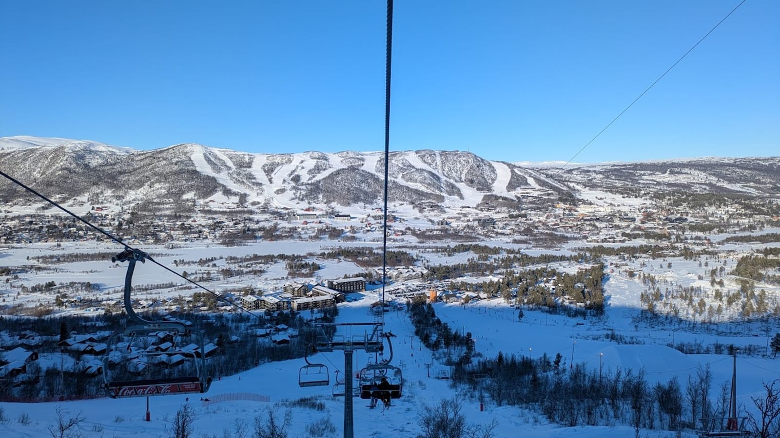
Røldal
Snow report
Updated · 28 Jul, 14:30
7-day forecast
Day-by-day snowfall and temperature for the next week.
- Tue 28Drizzle8 / 16°C-
- Wed 29Rain12 / 16°C-
- Thu 30Rain10 / 15°C-
- Fri 31Rain6 / 10°C-
- Sat 1Drizzle6 / 11°C-
- Sun 2Drizzle7 / 13°C-
- Mon 3Drizzle9 / 15°C-
Røldal is the snowiest ski area in Norway, a small coastal-mountain pocket that catches Atlantic storms head-on and often records more than 10 m of annual snowfall. 17 km of marked piste run on the Røldalsfjellet sector, but the real draw is the freeride terrain off Reinanuten and Reinaknuten. It sits less than three hours from Bergen.
Snow report FAQ
How fresh is the snow data?+
The current conditions and 7-day forecast are pulled from Open-Meteo (ECMWF, MeteoFrance, DWD and Met Norway models combined) and cached for 30 minutes. Numbers reflect conditions at the resort's latitude and longitude.
What does fresh snow mean?+
The amount of snow that has accumulated over the previous 24 hours, separate from the daily forecast for the next 7 days.
Why is current snow lower than the seasonal average?+
Snow depth varies day by day. Our seasonal average is an indicative monthly target based on altitude and historical reliability. The live number is what is actually on the slopes today.
Other ski destinations
Trysil
466 - 1132 m
Hemsedal
640 - 1450 m
Geilo
800 - 1178 m