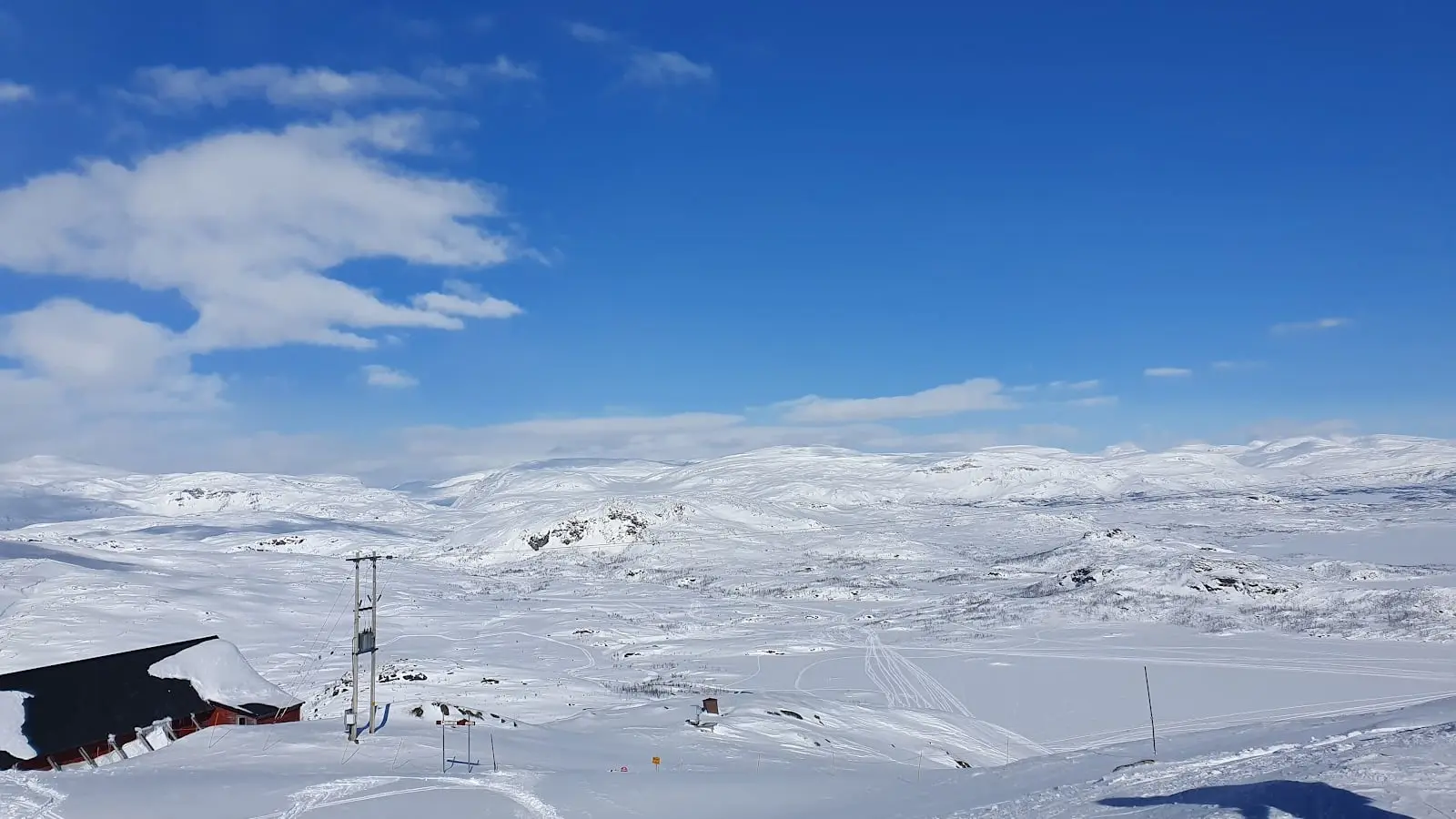
Riksgränsen
Snow report
Updated · 31 Oct, 15:00
7-day forecast
Day-by-day snowfall and temperature for the next week.
- Sat 31Rain2 / 6°C-
- Sun 1Rain1 / 3°C-
- Mon 2Rain0 / 2°C1 cm
- Tue 3Light snow-2 / 3°C5 cm
- Wed 4Light snow0 / 4°C5 cm
- Thu 5Light snow-2 / 1°C12 cm
- Fri 6Heavy snow-2 / 3°C7 cm
Riksgränsen is the northernmost ski resort in mainland Europe, sitting astride the Norwegian border well inside the Arctic Circle. The season runs from late February to late June, ending with weeks of midnight-sun skiing under a horizon that never lets go. 15 km of marked piste sit alongside vast freeride terrain and a heli-ski operation on the surrounding peaks.
Snow report FAQ
How fresh is the snow data?+
The current conditions and 7-day forecast are pulled from Open-Meteo (ECMWF, MeteoFrance, DWD and Met Norway models combined) and cached for 30 minutes. Numbers reflect conditions at the resort's latitude and longitude.
What does fresh snow mean?+
The amount of snow that has accumulated over the previous 24 hours, separate from the daily forecast for the next 7 days.
Why is current snow lower than the seasonal average?+
Snow depth varies day by day. Our seasonal average is an indicative monthly target based on altitude and historical reliability. The live number is what is actually on the slopes today.
Other ski destinations
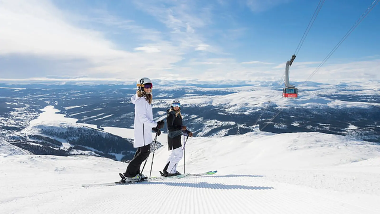
Åre
380 - 1420 m
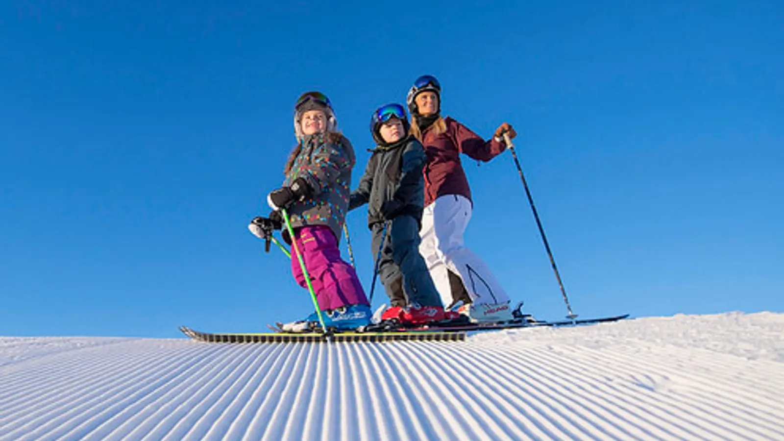
Sälen
500 - 880 m
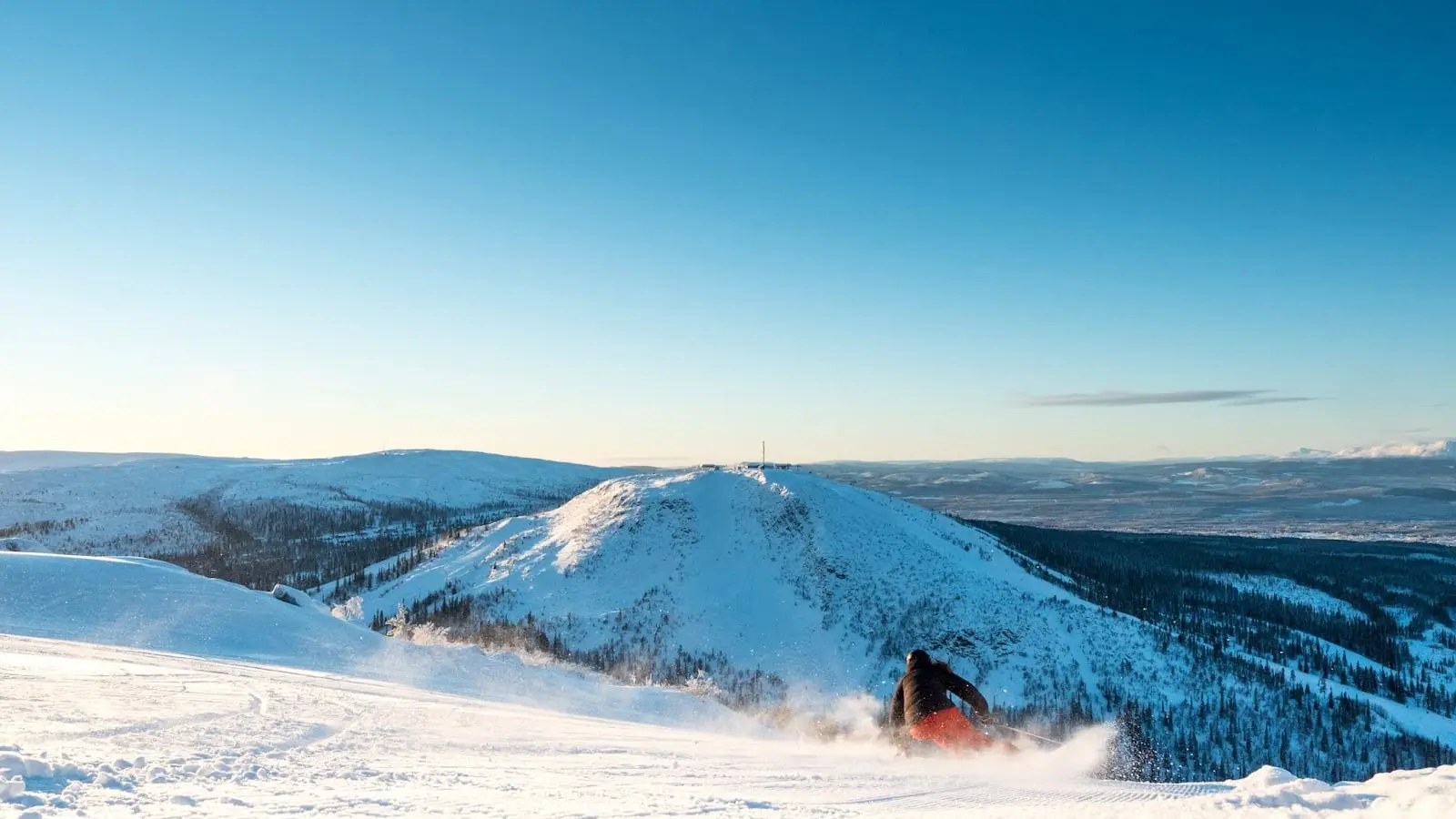
Vemdalen
524 - 947 m