Niseko
Snow report
Updated · 28 Jul, 21:45
7-day forecast
Day-by-day snowfall and temperature for the next week.
- Tue 28Drizzle14 / 23°C-
- Wed 29Rain17 / 22°C-
- Thu 30Drizzle17 / 20°C-
- Fri 31Rain17 / 23°C-
- Sat 1Rain17 / 20°C-
- Sun 2Rain18 / 25°C-
- Mon 3Partly cloudy14 / 23°C-
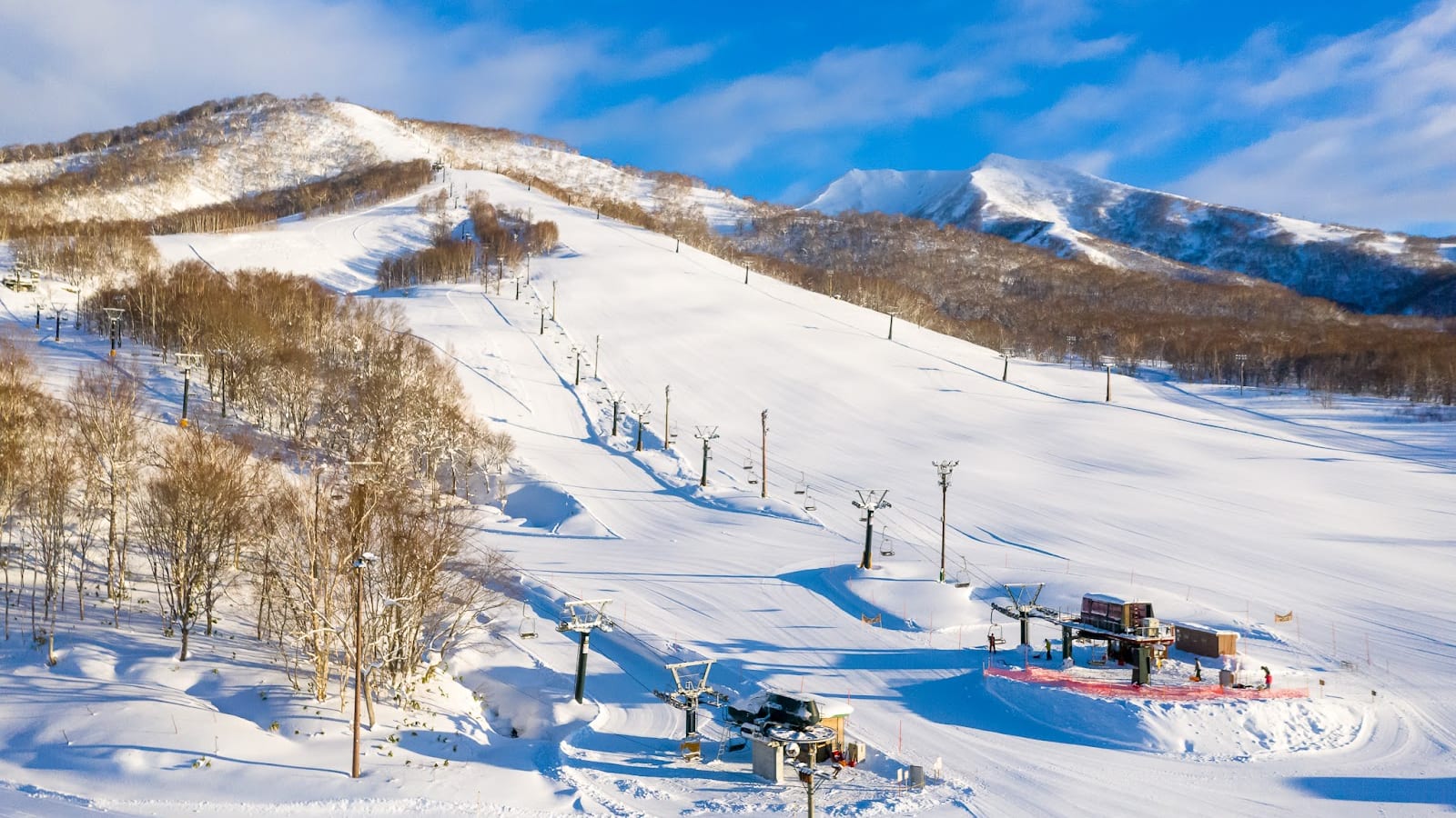
Niseko is the name every powder hunter whispers. Storms roll in off the Sea of Japan and drop fifteen metres of dry, weightless japow on Mount Annupuri each winter, while Mt Yotei rises across the valley like a private Fuji. Four interlinked bases, neon-lit izakaya, steaming onsen at night: this is Hokkaido in maximum mode.
Snow report FAQ
How fresh is the snow data?+
The current conditions and 7-day forecast are pulled from Open-Meteo (ECMWF, MeteoFrance, DWD and Met Norway models combined) and cached for 30 minutes. Numbers reflect conditions at the resort's latitude and longitude.
What does fresh snow mean?+
The amount of snow that has accumulated over the previous 24 hours, separate from the daily forecast for the next 7 days.
Why is current snow lower than the seasonal average?+
Snow depth varies day by day. Our seasonal average is an indicative monthly target based on altitude and historical reliability. The live number is what is actually on the slopes today.
Other ski destinations
Rusutsu
400 - 994 m
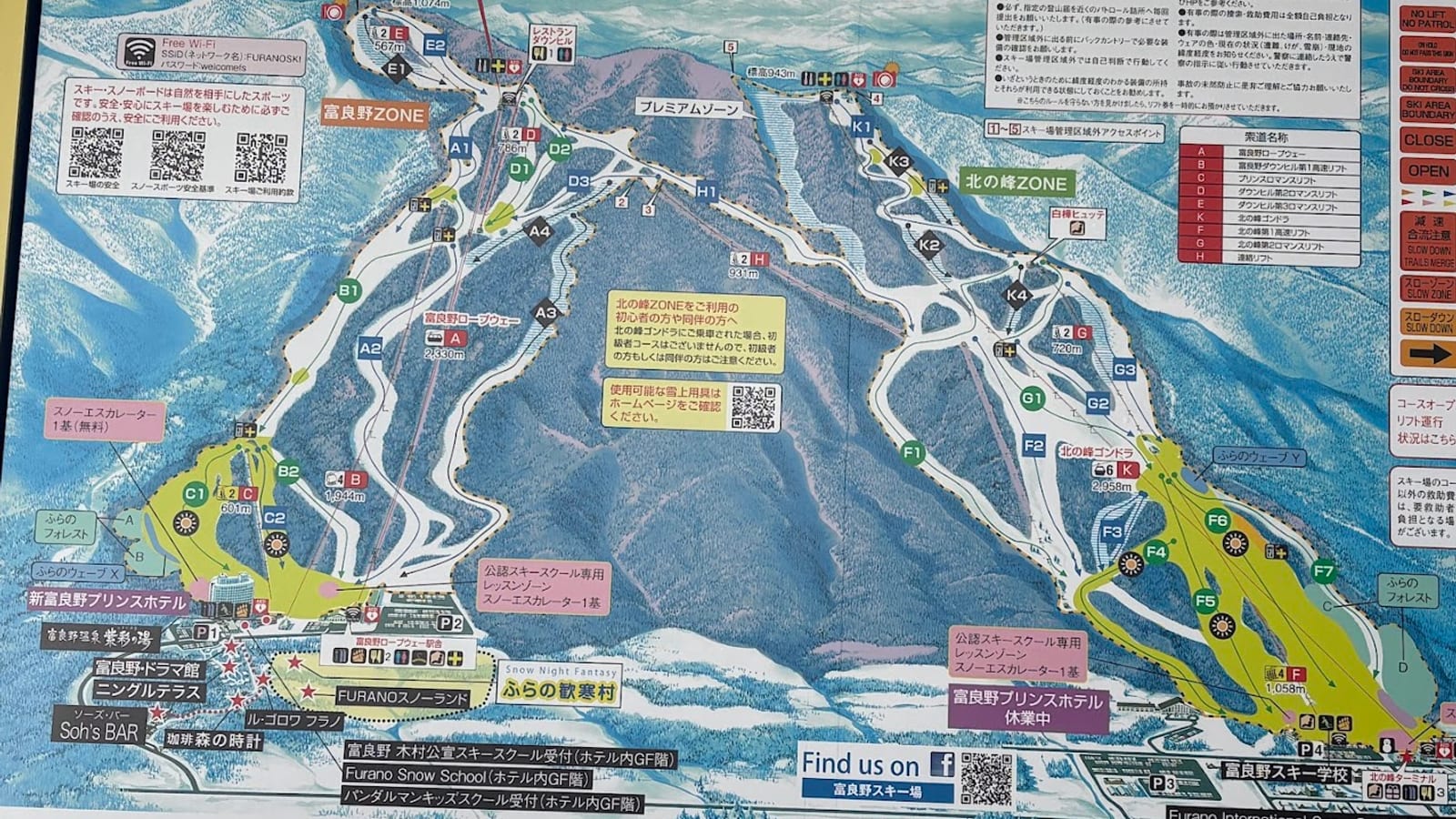
Furano
234 - 1074 m
Kiroro
570 - 1180 m