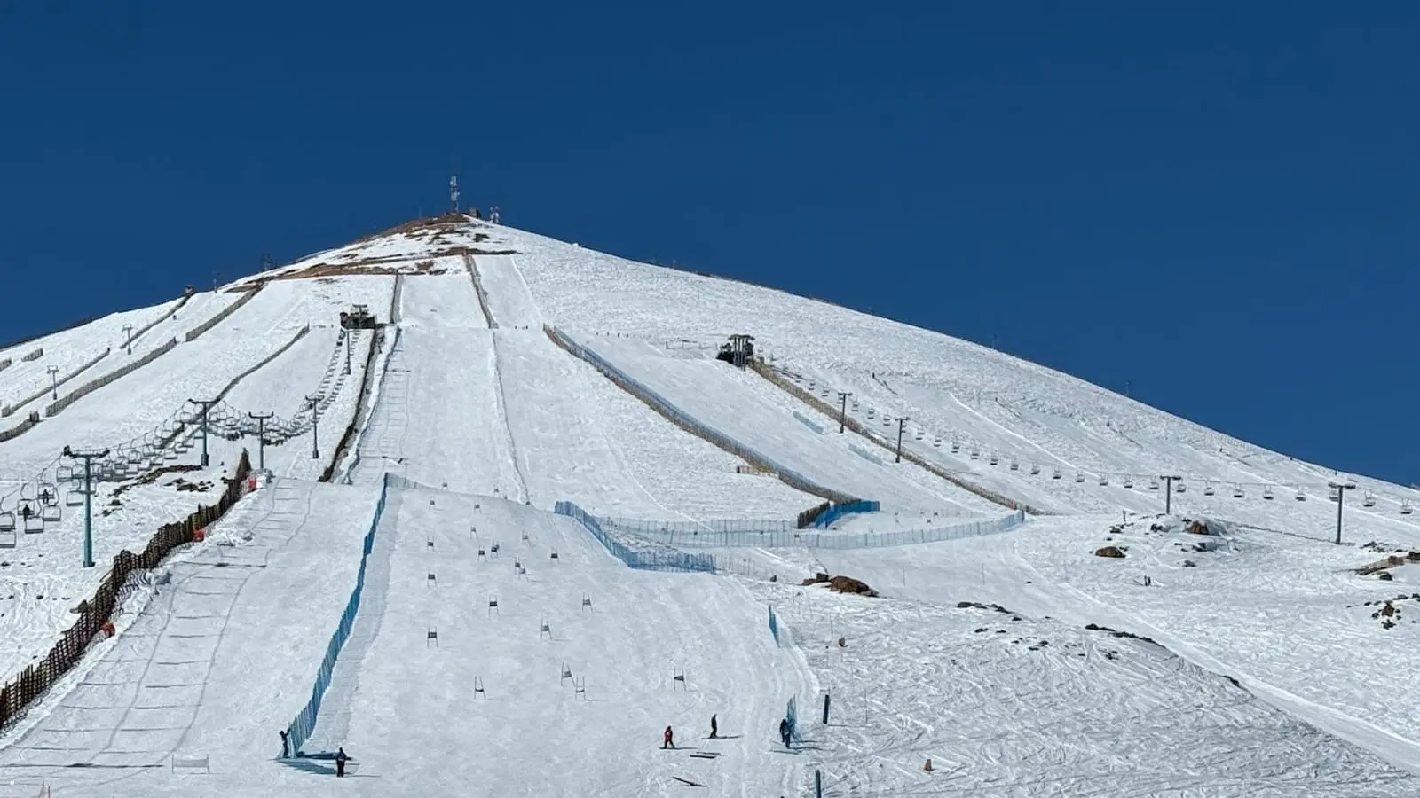
El Colorado
Snow report
Updated · 17 Oct, 07:45
7-day forecast
Day-by-day snowfall and temperature for the next week.
- Sat 17Drizzle-6 / 3°C-
- Sun 18Light snow-7 / 4°C-
- Mon 19Light snow-1 / 1°C2 cm
- Tue 20Light snow-3 / 1°C2 cm
- Wed 21Light snow-7 / 1°C-
- Thu 22Light snow-10 / -1°C1 cm
- Fri 23Partly cloudy-10 / 1°C-
Just 39 km from Santiago, El Colorado is the sunny, easy-access heart of the Tres Valles in the Andes. Rising from a base around 2430 m to 3333 m, it serves up high-altitude cruising, big mountain views and a quick lift link toward La Parva and Valle Nevado, making it a favourite Southern Hemisphere escape from June to October.
Snow report FAQ
How fresh is the snow data?+
The current conditions and 7-day forecast are pulled from Open-Meteo (ECMWF, MeteoFrance, DWD and Met Norway models combined) and cached for 30 minutes. Numbers reflect conditions at the resort's latitude and longitude.
What does fresh snow mean?+
The amount of snow that has accumulated over the previous 24 hours, separate from the daily forecast for the next 7 days.
Why is current snow lower than the seasonal average?+
Snow depth varies day by day. Our seasonal average is an indicative monthly target based on altitude and historical reliability. The live number is what is actually on the slopes today.
Other ski destinations
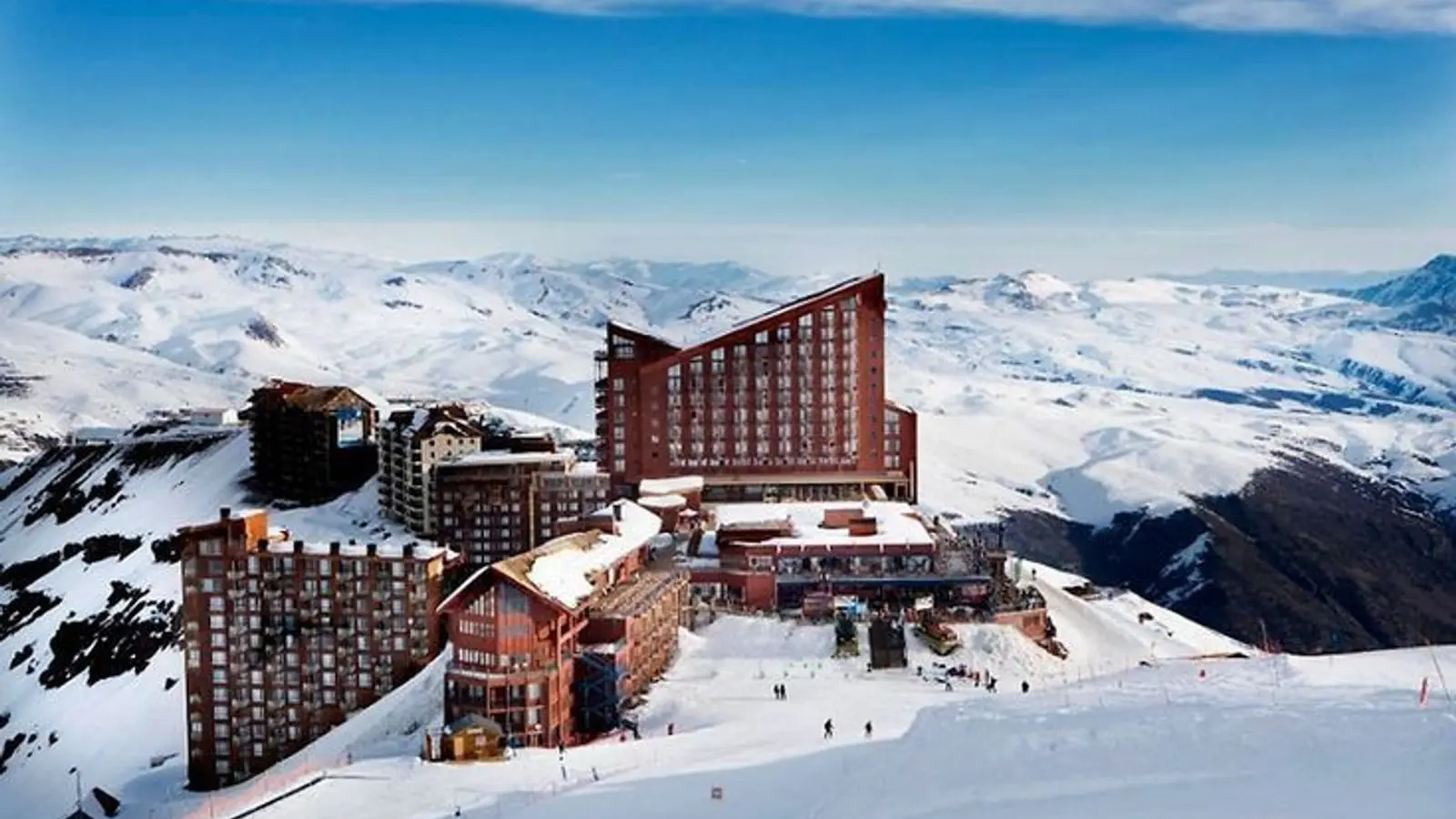
Valle Nevado
3025 - 3670 m
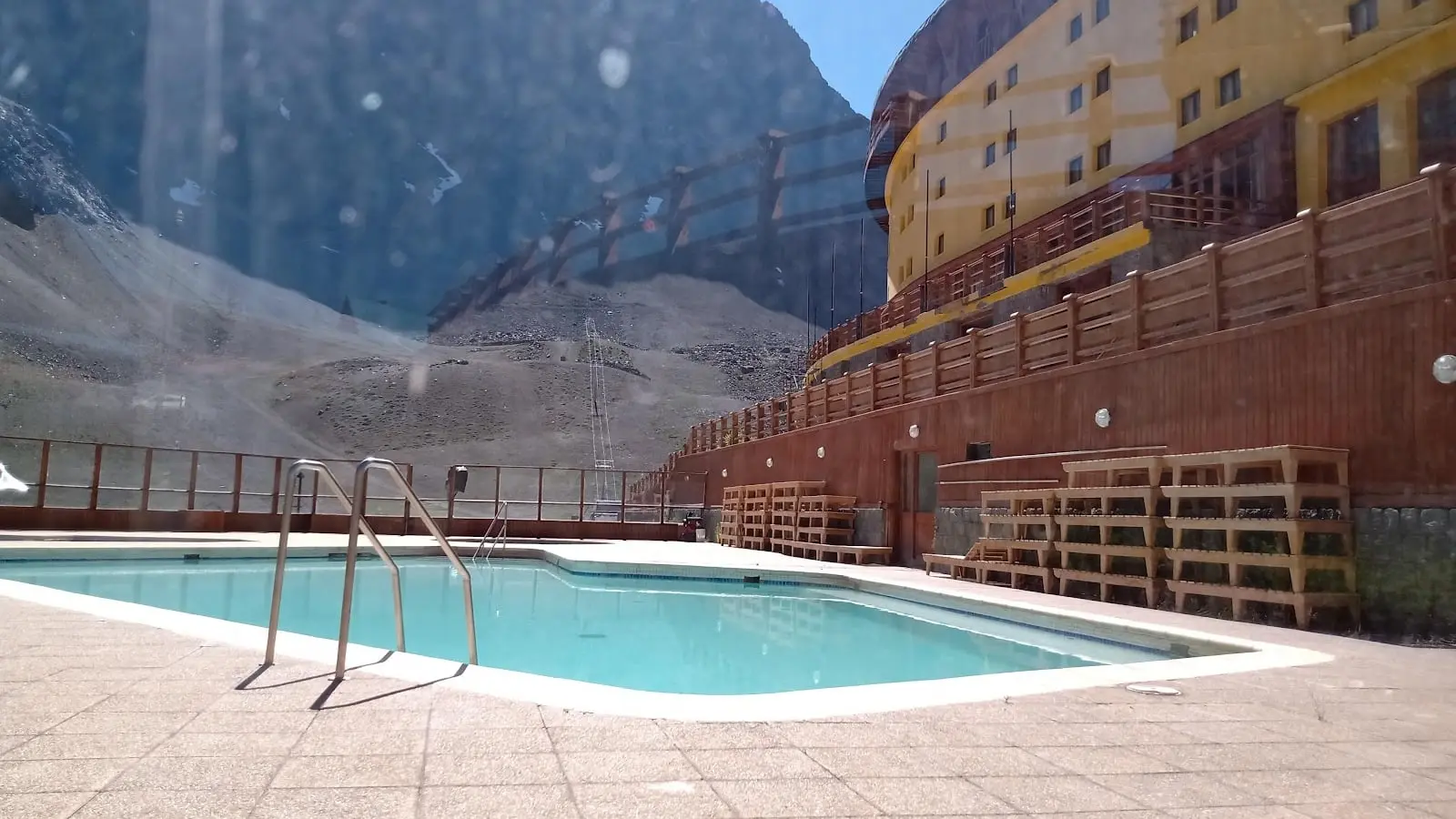
Portillo
2880 - 3322 m
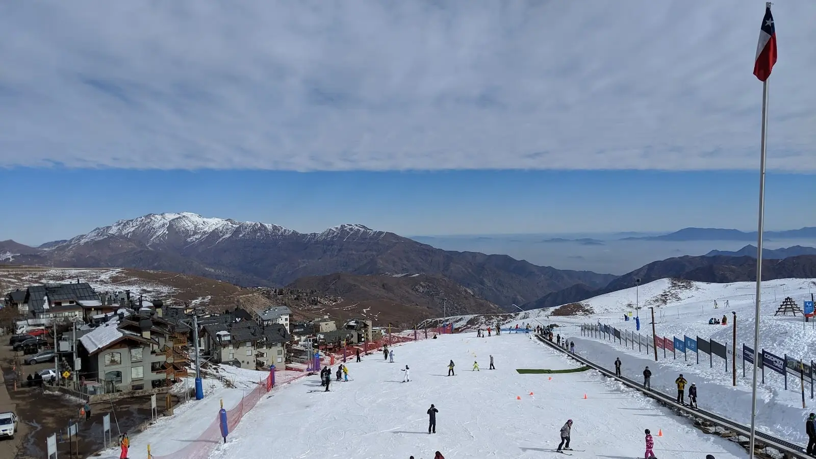
La Parva
2662 - 3630 m